Geology
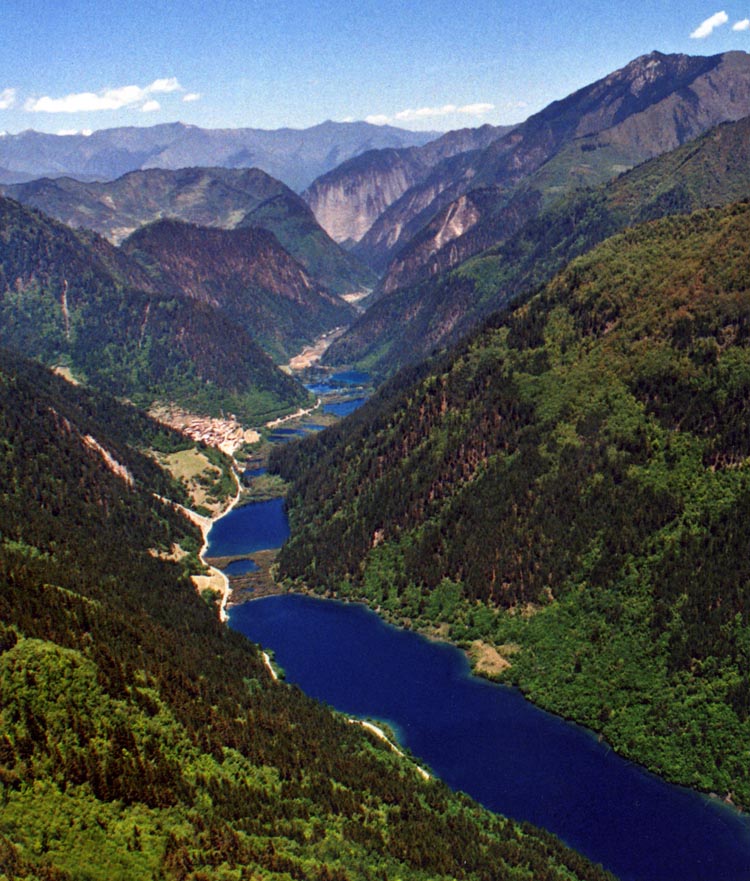
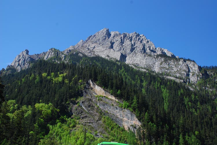
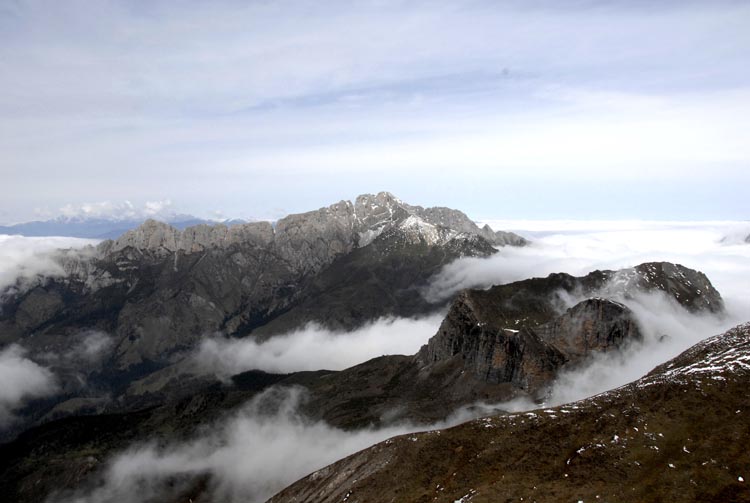
Jiuzhai Valley belongs to the Songpan-Ganzi geocynclinal area, right on the front segment of China's secondary topography. On the strongest fault line of landform transformation, Jinzhai Valley descends from its high south to the low north, with a variety of kind features including mountains, valleys, lakes, waterfalls, streams and intermontane belts - a typical landform of alpine valleys. Mountain ridges average in altitude between 3,500m to 4,500m (11,482 – 14,763 feet), the highest is the Ge Er Na Peak at 4,764m (15,630 feet) and the lowest Yang Tong at 2,000m (6,562 feet). The entire national park features crisscrossing valleys and overlapping mountains of crust transformation and evolution.

Jiuzhai Valley is shaped on overlapping waterfalls of Cui Hai (the Emerald Lake), and evolves to its current appearance on the ground of crust transformation, glacial movement, karst landform and travertine accretion.
Crust transformation
As far back as the Paleozoic of some 400 million years ago, Jiuzhai Valley was under seawater. Due to the Himalayas orogenesis from the Quaternary Pleistocene period, the crust experienced drastic transformation, and mountains rose irregularly. Under the force of glaciers and water erosion, high peaks and loop valleys came into being. Furthermore, earthquakes contributed to cliff collapses, sliding, mudflow accumulation, lime corrosion, and travertine accumulation resulted in deep-valley lakes and pouring waterfalls. It is believed that the current landform and landscape scenery of Jiuzhai Valley took shape some 2 to 3 million years ago.

Glacial Movement
From the Quaternary to the late Pleistocene period, the altitude of many Jiuzhai Valley mountains was over 4,000 meters (13,123 feet), close to the snowline. As the glacial climate approached, glacial action took place in alpine areas, and glaciers extending down to 2,800m (9,186 feet) valleys, leaving behind terminal and side moraines and dike barriers which blocked the water and helped to shape lakes. The Long Lake (Chang Hai) is a barrier lake formed in the Quaternary glacial period. Even today in Jiuzhai Valley, visitors may find traces of the Quaternary glacial ruins, particularly glacial cirques and ice gorges, as well as hanging and trough valleys.

Karst Landform
The karst landform is a precondition for existence of hanging cliffs and waterfalls. On a lifted fault platform, the accumulated mudflow deposits were under die karst action and turned into travertine accretion, which con- tribute to the height of its waterfalls, typically the grand sight of the Nuorilang Waterfall, On it's 30m (98 feet) wall, water pours down in an overwhelming manner. The well-developed glacial and karst landforms lay a foundation for the natural scenery of Jiuzhai Valley.

Travertine accreation
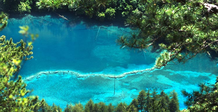
Travertine refers to sediments mainly made of calcium carbonate substance. The unique features of Jiuzhai Valley travertine sites are the product of water and bio-karst interaction, while the depositing of travertine sediments become dike barriers on the lakebeds. As years proceed, travertine layers piled up to form different-sized travertine lake banks. The water spots blocked out become stair case shaped lake clusters. Water overflows one stair after another, and forms both high waterfalls and low overfalls. Furthermore, aquatic plants, mosses and algae help to create colourful lake sights, the very core of Jiuzhai Valley's unique natural beauty.


